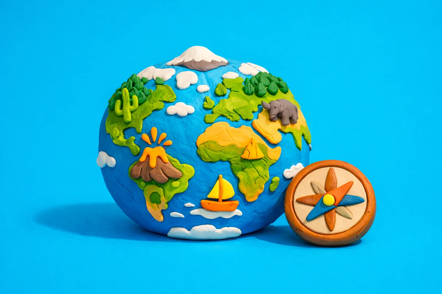
10th Grade Geography Skills Assessment (Test 10)
True / False
True / False
True / False
Select all that apply
Select all that apply
Put in order
Select all that apply
Select all that apply
Frequent Errors on Geographytest10 World Geography Questions
Mixing Up Countries With Similar Names or Positions
Many learners confuse countries that share similar names or lie in the same region. Examples include Slovakia and Slovenia or Niger and Nigeria. To avoid this, group countries by subregion, then learn a few distinct identifiers such as coastlines, neighbors, or capital cities.
Ignoring Hemisphere and Direction Clues
Questions that reference "north of," "west of," or "in the Southern Hemisphere" often trigger errors. Test takers jump to familiar countries instead of using the directional cue. Train yourself to visualize the equator, prime meridian, and cardinal directions before choosing an answer.
Misreading Map Scales and Legend Symbols
On map based items, some people guess without reading the scale or legend. This leads to mistakes in distance comparisons or landform identification. Always check the scale bar, color key, and symbols for rivers, mountains, and elevation before interpreting the map.
Confusing Capitals With Largest Cities
Geographytest10 often tests the difference between political capitals and economic hubs. Learners pick Lagos for Nigeria or Istanbul for Türkiye when the capital is Abuja or Ankara. Build a separate list of capitals and review cases where the largest city is different.
Overgeneralizing Climate and Biomes
Many assume equatorial countries are always tropical rainforest or that all of Africa is hot desert. This causes wrong answers on climate zone and vegetation questions. Study latitude patterns along with altitude, ocean currents, and prevailing winds for a more accurate mental model.
Geographytest10 World Geography Quick Reference Sheet
How to Use This Sheet
This Geographytest10 reference sheet highlights core facts for quick review. Print it or save it as a PDF for offline practice.
Continents and Key Regional Groupings
- Africa: North Africa, Sahel, West Africa, Central Africa, East Africa, Southern Africa.
- Asia: Middle East, Central Asia, South Asia, Southeast Asia, East Asia.
- Europe: Nordic, Western, Eastern, Southern, Central Europe, Balkans.
- Americas: North America, Central America, Caribbean, South America.
- Oceania: Australia, New Zealand, Melanesia, Micronesia, Polynesia.
Political Geography Essentials
- Capitals vs largest cities: Learn mismatched pairs, for example Canada (Ottawa / Toronto), Australia (Canberra / Sydney), Türkiye (Ankara / Istanbul), Brazil (Brasília / São Paulo).
- Landlocked states: Remember clusters in Central Asia, Central Europe, and East Africa (for example, Kazakhstan, Switzerland, Uganda).
- Microstates in Europe: Andorra, Monaco, Liechtenstein, San Marino, Vatican City, Luxembourg.
Physical Geography Short List
- Longest rivers: Nile, Amazon, Yangtze, Mississippi Missouri, Yenisei.
- Major mountain ranges: Andes, Rockies, Himalayas, Alps, Atlas, Ural.
- Key deserts: Sahara, Arabian, Gobi, Kalahari, Great Victoria.
- Important straits: Gibraltar, Hormuz, Malacca, Bosporus.
Map and Coordinate Tips
- Lines of latitude run east west and measure north south position.
- Lines of longitude run north south and measure east west position.
- 0° latitude is the equator. 0° longitude is the prime meridian through Greenwich.
- Capitals in high latitudes usually have colder climates than those near the equator at similar elevation.
Worked Geographytest10 Question Examples with Step-by-Step Reasoning
Example 1: Relative Location in Europe
Question: Which country lies directly south of Finland?
Step 1: Picture or sketch the Baltic region. Finland sits east of Sweden and west of Russia, with the Gulf of Finland to the south.
Step 2: Think about what is across the Gulf of Finland. Estonia lies just south of Finland across this body of water.
Step 3: Check neighboring options mentally. Sweden and Norway are west, Russia is east and southeast, Estonia is directly south.
Answer: Estonia.
Example 2: Capital vs Largest City
Question: Which city is the capital of Australia?
Step 1: Recall that many confuse Sydney or Melbourne with the capital. Geographytest10 often tests these traps.
Step 2: Remember the purpose built capital in the Australian Capital Territory. This city lies between Sydney and Melbourne.
Step 3: Match this description to the correct city name.
Answer: Canberra.
Example 3: Coordinates and Hemisphere
Question: A city lies at 34° S, 18° E. Which statement best describes its location?
Step 1: Latitude 34° S means Southern Hemisphere, mid latitude. Longitude 18° E places it just east of the prime meridian, in Africa or Europe zone.
Step 2: Combine both. Southern Hemisphere plus 18° E points to Southern Africa, near the southwest coast.
Step 3: This matches Cape Town in South Africa, on the Atlantic side near the Cape of Good Hope.
Answer: The city is on the southwest coast of Africa, near Cape Town.
Geographytest10 Quiz Content and Study FAQ
What topics does the Geographytest10 Quiz mainly cover?
The quiz focuses on political and physical world geography. Expect questions on countries and capitals, regional groupings, major rivers and mountain ranges, climate zones, and relative location using cardinal directions and hemispheres.
How difficult is Geographytest10 compared with basic geography quizzes?
Geographytest10 targets an intermediate level. You should already know all continents and most countries. Difficulty comes from similar country names, tricky capital and city pairs, and questions that require interpretation of maps or coordinates instead of simple recall.
How should I prepare for country and capital questions on Geographytest10?
Study region by region instead of a global alphabetical list. Learn each country with its capital, neighbors, and at least one physical feature such as a river or mountain range. Pay special attention to countries where the capital is not the largest city, since these appear often.
Does Geographytest10 include map based questions?
Yes, many items require mental map use. You may be asked to identify a country from its outline, determine which country lies north or south of another, or infer climate and biome from latitude and nearby physical features.
What skills beyond memorization does Geographytest10 assess?
The quiz checks spatial reasoning, pattern recognition, and inference. For example, you might use latitude to infer climate, or you might combine coastline and regional clues to identify a country. Practicing these reasoning steps improves real geographic problem solving, not just fact recall.